Air2Road – Multimodal Localization
Air2Road, driven by Liquid AI technology, delivers precise centimeter-level accuracy by seamlessly matching aerial imagery with real-time ground view from the vehicle’s cameras.
Utilizing Autobrains’ Signature-based AI, Air2Road matches aerial imagery with vehicle camera data to deliver highly accurate localization. The multimodal system enables centimeter-level precision, enhancing the safety of automated driving.
Traditional localization systems relying on GNSS or crowd-sourced maps face challenges like limited coverage, high costs, interference, and single source data inaccuracies.
Air2Road delivers precise, real-time vehicle localization for safe navigation, even in challenging conditions such as occlusions, adverse weather, and complex urban environments.
Driven by Liquid AI, Air2Road focuses on features critical for localization. By matching two independent modalities, aerial imagery with 360 vehicle camera data, it achieves centimeter-level localization.
Centimeter-level precision for unparalleled accuracy and reliability.
Matching visual aerial with ground-level data inputs.
Sparse binary hyperdimensional driving environment representations.
From bustling urban areas to rural roads, Air2Road adapts to all driving scenarios, including dense city centers and tree-covered routes.

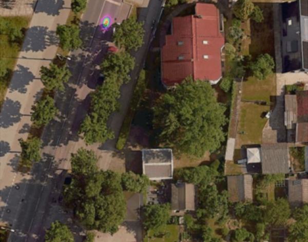
Precise localization in urban environments.
Technology Used:
Self-Learned Signatures for aerial
and ground view matching.

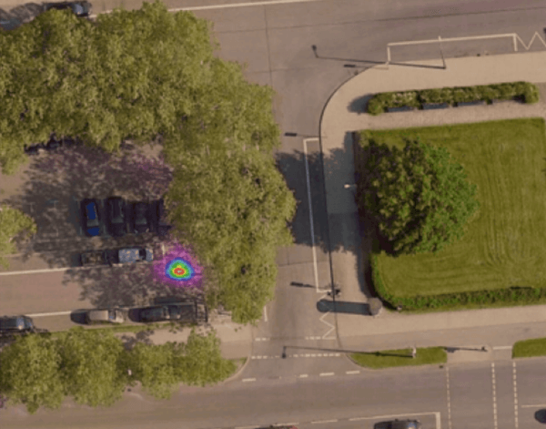
Focusing only on localization-relevant static objects while ignoring parked and moving vehicles.
Technology Used:
Self-Learned Signatures for aerial
and ground view matching.

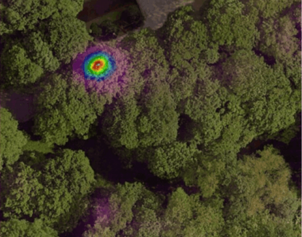
Ensuring reliability even in occluded scenarios and across environmental or seasonal variations in both aerial and ground inputs.
Technology Used:
Self-Learned Signatures for aerial
and ground view matching.

Unlike GNSS-based systems, Air2Road’s Signature-based technology operates reliably in challenging environments, such as under trees, bridges, between buildings, and in areas with poor GNSS signal.

Existing systems like crowd-sourced maps need a fleet for data collection before localization. Air2Road offers instant localization for the first vehicle, enabling scalable deployment without losing accuracy.

Air2Road uses affordable aerial imagery from various vendors. Its compressed Signatures tech stores large areas on the vehicle, enabling a low-memory, low-bandwidth system without continuous cloud connectivity.

By utilizing real-time data on road conditions, traffic flow, and parking areas, Air2Road enhances safety and enables more optimized navigation.
Autobrains collaborates with the top global automotive players.

Contact us to schedule a demo ride and experience our AI technology firsthand, and discover more about our Liquid AI solution.